


-150x150h.jpg)


-1000x1000-150x150.jpg)


-150x150.png)

 + 2 year plan DJI Care enterprise")
 + 2 year plan DJI Care enterprise")
 + 2 year plan DJI Care enterprise")
 + 2 year plan DJI Care enterprise")
DJI Mavic 3M (Multispectral) + 2 year plan DJI Care enterprise
Payment in installments via Lean pay: easy, 100% digital, the fastest way to buy the desired product ![]()
3,730.25€
Ex Tax: 3,730.25€


 PA059")


![DJI Mini 3 Pro [image]](https://www.onedrone.com/store/image/cache/catalog/banners/dji_mini_3_pro_no_rc_-550x550w-200x120w.jpg)

")


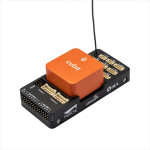
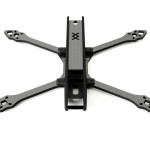
 By GEPRC")

Payment in installments via Lean pay: easy, 100% digital, the fastest way to buy the desired product ![]()
